MathWorks has partnered with MapmyIndia Mappls to help automotive engineers develop and test advanced driver assistance systems (ADAS) for Indian roads.
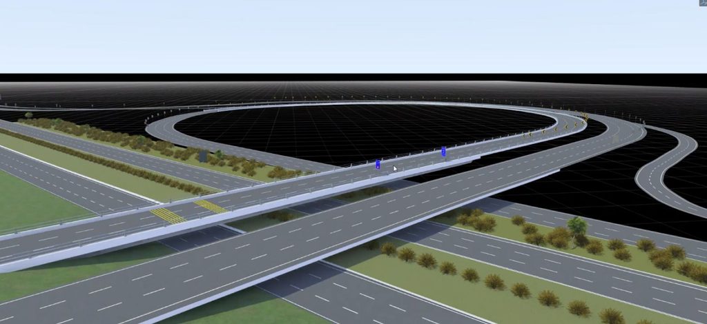
The collaboration integrates MapmyIndia’s high-definition (HD) maps with MathWorks’ MATLAB, Simulink and RoadRunner software. Engineers can use it to build digital twins of real Indian roads, simulate complex traffic situations and test ADAS systems virtually, starting earlier in the development process.
Indian roads pose special challenges for ADAS, including dense and mixed traffic, unpredictable lane behaviour and constantly changing road layouts. MapmyIndia’s HD maps capture these conditions in detail, from lane-level road geometry and traffic controls to India-specific features such as speed breakers, potholes and faded lane markings.
“Developing ADAS solutions for these conditions requires far more than adapting models built for structured traffic ecosystems,” said Sapna Ahuja, President Automotive Business and Chief Operating Officer, MapmyIndia Mappls.
Mr. Vijayalayan R., Senior Manager – Automotive, MathWorks, said the integration lets engineers test ADAS algorithms earlier, rely less on costly physical testing and improve system performance before vehicles reach Indian roads.