How would you like a smart ‘App’ that helps locate a restaurant of your spouse’s choice or a pilgrimage route that attracts senior family members or the nearest restroom on the highway for your kids when travelling in India?
But what’s new about this App is the ‘homegrown’ tag of this facility. MapmyIndia has finished alpha and beta test versions of this Map App which is being pegged as an alternative to Google Maps.
According to the officials, MapmyIndia is the answer to navigation, tracking, IoT, analytics and vehicle diagnostics, whether you are an individual or a fleet owner. This decade-old completely homegrown company with around 10 million end users has its R&D bases in Bangalore and Delhi.
An aggressive player in a space currently teeming with a large number of companies and growing by the minute, MapmyIndia dominates the navigation domain with 95 per cent market share.
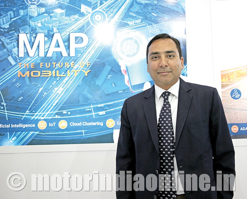
Mr. Shivalik Prasad, Director, MapmyIndia, shares: “We are present in 110 cities, including those in Tier-4. Our customers like us because they say if an operator is based in Tamil Nadu and is operating at a given point of time in Silchar, we will service him if his vehicle needs assistance. We support large passenger OEMs, so we go wherever they are.”
And the customer welcomes the prompt service to rescue a vehicle, even if charged a premium.
Digimapping India
According to official reports, ‘MapmyIndia has pioneered’ the creation of digital maps in India. The company uses state-of-the-art panoramic indoor and outdoor mapping technology that captures, analyzes and publishes the world in 3D and 360°.
Mr. Prasad is excited about the forays that they have made in the last decade and also with the fact that the automotive industry in India is all set to grow bigger.
He says: “Though the car ownership percentage in India is still low, we believe that it will grow. The same is the case with the growth of e-commerce in our country. As of now, e-commerce penetration is only half to one per cent of total retail sales. As the deliveries will increase, the number of commercial vehicles too will increase. Even if for short distances, it’s good for us.”
MapmyIndia works with both passenger and commercial vehicles for institutions such as hospitals. The company’s aim is to work towards autonomous cars for which they are building technologies to support the OEMs in that space.
He explains: “It will take us another 6-7 years in the autonomous driving space which is not long in the automotive development cycle. Currently we are working with about 15 OEMs which include global ones too. We essentially provide navigation software and maps for almost all the cars. For CVs, such as ambulances and rental cabs, we provide value-added products such as GPS tracking. We have a good software platform which can process billions of data points coming in from the vehicles. But we are yet to start providing truck navigation though we work with their customers offering services such as routing. For schools, we have a solution called school bus tracking. We are actively working with a mandate called AIS 140 for efficient and safer public transportation system, and for GPS to be installed in all passenger and commercial passenger vehicles.”
Smart diagnostics
MapmyIndia provides a complete ‘technology stack’ of hardware and technology, for ambulances and other such services which use full-fledged call centers. According to Mr. Prasad, smart solutions like a simple GPS in a vehicle, especially those installed in commercial vehicles, need to offer assistance as well as monitoring. Only then will the drivers feel these gadgets are reliable and be comfortable while using them.
He adds: “When we started working with the logistics providers, the drivers would uninstall and dump the GPS systems, but now they are slowly getting used to it. It’s a mindset now. And the awareness amongst the truckers is also increasing gradually. No one wants to get stuck on a highway. Truckers realise now that if they are on the GPS, they can get to know how far the next dealership is or if they can get a load back home after reaching their destination. Now we are also approaching individual fleet owners, besides big courier and forwarding companies that we are already catering to.”
The company is also stepping up to fulfill expectations like JIT, especially in the logistics arena.
Mr. Prasad shares: “We are well-positioned to address them, right from the OEM to value addition to the end customer. We have a large market distribution network and we are getting mandates from their customers. And most of them want to know when their cargo is reaching. Most of the companies do not want to carry inventory and they all want just-in-time service. As more vehicles are moving from the unorganized to the organized market where India probably is 80 per cent of the former and 20 per cent of the latter and as the number keeps increasing, the adoption rates of new technology will be much faster.”
Going further, MapmyIndia is already handling CAN (Controller Area Networks) and diagnostic data for a few OEMs which require them to read CAN codes to diagnose problems and offer the drivers predictive information such as low oil, engine heating up and the nearest workshop for reparation.
Exciting times ahead
With electric current flowing in the EVs (Electric Vehicles), MapmyIndia is excited about being ready with the ‘premium technology that is with countries like Japan and those in Europe’ which has changed the way business is conducted.
Mr. Prasad throws more light: “There are no fuel-indicators in EVs. It is the voltage based on which the range of driving is calculated using a map. So essentially, we become the so-called fuel indicators in every vehicle. And we are prepared technologically for the complete change in our business owing to the EVs. We are working on democratizing it for our Indian customers in the sense that we are building solutions for even e-rickshaws. Though many other companies are working on hybrid solutions, we are working on it following our own definition of smart mobility which is maps, analytics and telematics.”
Overcoming obstacles
If earlier the challenges that MapmyIndia faced were more about their clients’ discomfort in using gadgets like GPS and digital mapping, it has now more to do with the ever-changing traffic directions of the landscape they are working with.
Mr. Prasad shares: “The usage of maps now has increased with the rise in the number of paid cabs. One challenge was education initially, and now it is changing road conditions or the names of the cities, and many traffic directional changes every instant. So that’s a constant catch-up. By the time we finish surveying, things probably change on the ground and these are some of the idiosyncrasies that we face.”
If in other countries base data and the software are made by Governments and then obtained by companies as licences, in India companies like MapmyIndia work on these to give their consumers a seamless experience using digital mapping.
And MapmyIndia is well positioned with its in-built homegrown advantage.